In our quest to comprehend the vastness of our planet, we often turn to two indispensable tools - globes and maps. However, these two instruments serve different purposes and offer distinct perspectives of the world. This blog aims to unravel the differences between globes and maps, shed light on reading a world globe, and explore the significance of these tools in our lives.
Understanding Globes and Maps: Exploring Dimensions of the World
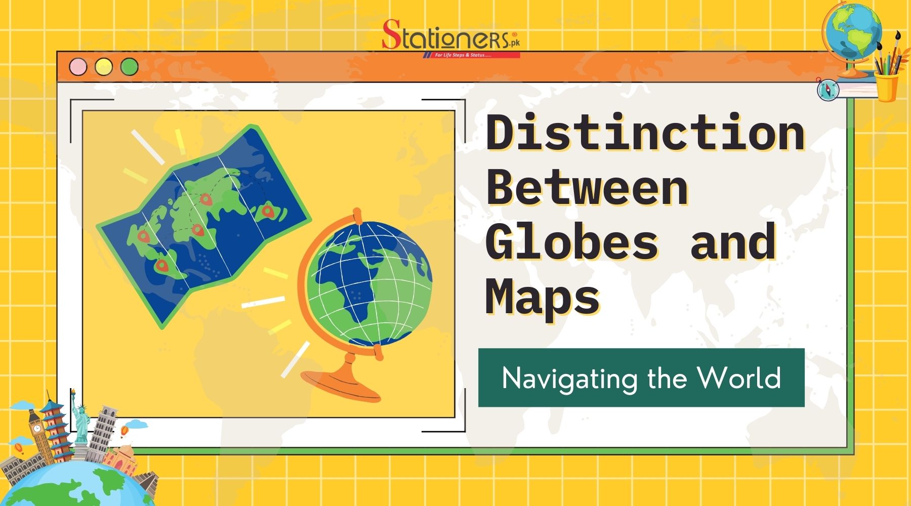
The Earth, a vast and complex planet, has been represented through the ages by two primary tools: globes and maps. Each serves as a unique lens through which we can comprehend the intricacies of our world. In this article, we delve into the distinctions between globes and maps, exploring their forms, functions, and the critical roles they play in our understanding of geography.
Buy the Best Globes Online
A Globe: A Spherical Window to Earth's Realism
A globe is a three-dimensional, spherical representation of the Earth. It mirrors the planet's natural shape, capturing its curvature, and offering a realistic portrayal of landmasses and bodies of water. The beauty of a globe lies in its ability to maintain accurate proportions, spatial relationships, and distances. As a tangible, interactive model, it allows us to visualize the Earth in a way that flat maps simply cannot replicate.
A Map: Navigating the Flat Dimensions
In contrast, a map is a two-dimensional representation of the Earth, typically depicted on a flat surface. Maps can showcase a specific area, like a city or country, or encompass the entire globe. While maps are immensely practical and convenient, they grapple with the inherent challenge of translating a spherical object onto a flat plane. This distortion results in compromises to accuracy, particularly in terms of size, shape, and distance.
Differentiating Globes and Maps: Accuracy vs. Convenience
The primary distinction between globes and maps lies in their emphasis – globes prioritize accuracy, while maps prioritize convenience. Globes, with their fidelity to the Earth's true form, are indispensable for understanding global relationships, distances, and geographical patterns. They are favored in educational settings and for detailed geographic analyses where precision is paramount.
Conversely, maps excel in providing quick, accessible information for specific purposes. Whether it's navigating a city, planning a road trip, or studying a region, maps offer a practical solution. However, users must bear in mind that the convenience of a map comes at the cost of some distortion and loss of accuracy inherent in the flat representation.
Role of Globes:
- Global Relationships: Indispensable for understanding global relationships and geographical patterns.
- Distances: Accurately depict distances on a global scale.
- Educational Settings: Favored in educational settings for comprehensive learning.
- Detailed Geographic Analyses: Essential for detailed geographic analyses where precision is paramount.
Role of Maps:
- Quick Information: Excel in providing quick information for specific purposes.
- Navigation: Useful for navigating cities and regions efficiently.
- Road Trip Planning: Aid in planning road trips by offering practical solutions.
- Specific Studies: Ideal for studying specific regions with immediate reference needs.
Considerations for Maps:
- Practicality: Maps offer practical solutions for immediate use.
- Accessibility: Easily accessible for various purposes like travel and study.
- Cost of Convenience: Users should be mindful of potential distortion and loss of accuracy in the flat representation of maps.
Best Card Holders and ID Covers in Cheap Prices
Choosing Between Globe and Map: Purpose Matters
The decision between a globe and a map depends largely on the intended use. If the goal is to grasp the Earth's features accurately, understand global relationships, or explore the intricacies of geography, a globe is the ideal choice. On the other hand, for everyday tasks requiring quick reference, planning, or local navigation, a map is the more practical option.

In educational settings, both tools play complementary roles. Globes facilitate a holistic understanding of the world, while maps offer focused insights into specific regions. Ultimately, the purpose dictates the tool – accuracy or convenience.
Shop the Finest Stationery Sets in PakistanHow to Read a World Globe: Navigating the Earth's Coordinates
Reading a world globe is an enriching endeavor that unveils the Earth's geography in a unique and comprehensive way. Key elements such as latitude, longitude, and the equator play a pivotal role in deciphering the information embedded in this three-dimensional representation.
Latitude lines, depicted as horizontal circles around the globe, run east-west. They serve as a measure of distances north or south of the equator. The equator, positioned halfway between the North and South Poles, is the starting point for measuring latitude. By understanding how these lines traverse the globe, one gains insights into the relative positions of different locations in terms of their distance from the equator.
Longitude lines, on the other hand, are vertical lines that run north-south. They indicate distances east or west of the prime meridian, which is the designated starting point for measuring longitude. This grid system, formed by the intersection of latitude and longitude lines, creates a global coordinate system. Familiarizing oneself with these coordinates enhances the ability to interpret the globe accurately and fosters a deeper appreciation for the Earth's vast and varied landscapes.
Why a Globe is More Accurate than a Map: Unveiling Spherical Fidelity
The accuracy of a globe in representing our planet is rooted in its spherical nature. Unlike maps, which are two-dimensional representations, globes maintain the true proportions of landmasses and distances. This fidelity is crucial for understanding the Earth's geography with precision.
Maps, due to the inherent challenge of projecting a spherical object onto a flat surface, often introduce distortions. Elements such as size, shape, and distance may be misrepresented, leading to inaccuracies in the depiction of geographical features. When precision matters, whether for educational purposes, geographic analyses, or navigation, a globe stands as the superior choice.
The spherical accuracy of a globe becomes particularly evident when comparing the representation of polar regions. Maps tend to exaggerate the size of these areas, distorting the true proportions. In contrast, a globe faithfully represents the Earth's features, providing a reliable and faithful representation of our planet.
Shop the Perfect Birthday Gifts for Loved Ones!
How to Draw a Globe Map: Navigating the Transition from 3D to 2D
Drawing a globe map is a complex yet fascinating process that involves translating the three-dimensional Earth onto a two-dimensional surface. Numerous map projections exist, each offering a distinct way to represent our planet. Understanding the type of projection chosen is crucial, as it significantly impacts the accuracy and visual aspects of the resulting globe map.
Various map projections, such as the Mercator, Robinson, and Winkel Tripel, each come with their strengths and limitations. The Mercator projection, for instance, preserves straight lines and angles but distorts size, particularly towards the poles. In contrast, the Robinson projection seeks to balance size and shape but sacrifices accuracy in both. Selecting an appropriate projection depends on the purpose of the map and the specific features deemed most important for accurate representation.
Being aware of the strengths and limitations of different map projections empowers mapmakers to create reliable globe maps that effectively convey geographical information. This understanding is crucial for cartographers, educators, and anyone involved in creating or interpreting maps.
How to Make a World Globe: Bringing Geography to Life
Crafting a world globe can be a captivating project that not only enhances understanding but also makes learning about geography enjoyable. Using materials like papier-mâché, styrofoam, or inflatable templates, individuals can create tactile representations of the Earth. This hands-on approach provides a tangible connection to geography, allowing for a deeper appreciation of the planet's features.
Engaging in globe-making activities is an excellent educational tool, especially for students. It offers a practical and creative way to learn about continents, countries, and oceans. By physically constructing a world globe, individuals gain a unique perspective on the Earth's shape and geography, making the learning process both interactive and memorable.
Locating Pakistan on the Globe: Understanding Geographic Positioning
Understanding the geographic location of countries is fundamental for global awareness. On a globe, Pakistan is situated in South Asia. It shares borders with India to the east, Afghanistan and Iran to the west, and China to the north. Recognizing the spatial relationships on a globe fosters a deeper understanding of regional dynamics and global interconnectedness.
The Need for Maps and Globes: Essential Tools for Exploration
Maps and globes are not just static representations; they are dynamic tools that play an indispensable role in our lives, contributing significantly to navigation, education, and exploration. Their ability to provide insights into the world's geography enhances our comprehension of the interconnectedness of nations and the vastness of our planet.
Shop the Best Pilot Mechanical Pencils
Navigation: Planning Routes and Understanding Spatial Relationships
In the realm of navigation, both maps and globes serve as crucial aids for travelers. Maps offer detailed depictions of regions, allowing individuals to plan routes efficiently and navigate through unfamiliar territories. Understanding spatial relationships becomes second nature with the assistance of maps, making journeys smoother and more informed.
Education: Tangible Representation for Engaging Learning
Globes, as tangible three-dimensional representations of the Earth, play a pivotal role in education. They provide a hands-on approach that makes geography more accessible and engaging for learners. By physically interacting with a globe, students can grasp concepts related to continents, countries, and oceans more effectively, creating a deeper and lasting understanding of the Earth's features.

Exploration: Discovering New Places and Cultures
Both maps and globes act as catalysts for exploration, inspiring individuals to discover new places, understand different cultures, and appreciate the diversity of our planet. They serve as windows to the world, encouraging a sense of curiosity and fostering a global perspective. Through exploration facilitated by these tools, people can broaden their horizons and gain a more profound appreciation for the interconnected nature of our world.
Buy Piano Stationery Online in Pakistan
Drawing a Globe Map: Navigating Map Projections for Accuracy
When it comes to creating a globe map, the process involves navigating the intricacies of map projections. Understanding the impact of different projections on accuracy is crucial for cartographers and mapmakers. The choice of projection can significantly influence the representation of geographical features, emphasizing the need for precision in creating reliable and informative globe maps.
Crafting a World Globe: Hands-On and Enjoyable Geography Learning
Crafting a world globe offers a hands-on and enjoyable approach to learning about geography. Whether using materials like papier-mâché, styrofoam, or inflatable templates, this activity turns theoretical knowledge into a tangible representation. It provides an interactive experience that enhances understanding and makes the study of geography a dynamic and memorable endeavor.
Locating Countries on a Globe: Enhancing Global Positioning Awareness
Locating countries on a globe, such as Pakistan, enhances our understanding of global positioning. It brings spatial awareness to the forefront, allowing individuals to visualize the relative locations of countries and recognize their geopolitical contexts. This skill is crucial for developing a nuanced understanding of the world and its interconnected dynamics.
Easel Stand for Sale in Pakistan
Conclusion:
Globes and maps, while distinct in their representations, complement each other in our pursuit of understanding the Earth. Whether you choose the precision of a globe or the convenience of a map, both instruments contribute to our collective knowledge of the world's diverse landscapes and cultures.
Unlock Exclusive Stationery Savings: Shop Online at Stationers.pk